

OCAD 12.01
Creates, customizes and edits all kinds of maps
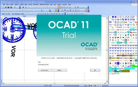
Draw topographic and city maps, hiking and biking maps, Internet maps, etc. The utility features multiple tools for personalization and editing of the downloaded layouts such as symbol editing, automatic disabling of street sidelines, Bezier curve, line tracing, georeferencing, etc.
OCAD is a software program for drawing maps of all types (e.g. topographic maps, city maps, hiking and biking maps, Internet maps). Specific cartographic drawing and editing tools have been implemented, such as an ingenious map symbol editor, automatic disabling of street sidelines in junctions, Bezier curve, line tracing, influencing the position of the sections of dashed lines, rubber sheeting to rectify distortions, georeferencing, deriving contour lines and profiles from Digital Elevation Models etc.
Details
Extensions

No information available
The data will be available later.


Comments