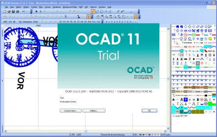
OCAD is a software program for drawing maps of all types. Thanks to the simple handling and prepared set of symbols and signatures, you will be able to draw perfect maps based on scanned originals in a short time. However, OCAD is far more than just a map drawing program: if you have access to basic vector geodata, then you can import it and automatically assign symbols or signatures to it, which you can organize according to your own individual concepts. If you want to enhance maps with additional objects, then you all you need to do is record them on site with a GPS device and import them into the map. You can edit map objects with many editing functions to the highest cartographical requirements. Thanks to the ODBC interface, you can link map objects to tables or databases and record additional information in them. Finally, you can even export the map as a PDF file and send it to the printing process or publish it as an interactive map in the Internet.
OCAD comes in two editions – a standard and a professional edition.
The professional edition provides additional functions for database connections, compilation of street indexes and interactive Internet maps, for recording real-time GPS measurements, exporting Shape, DXF, and SVG files as well as rasterising maps.
Image Editor with layers, animation, icon edit, super-res, batch and camera RAW

Enjoy creativity and learning about art with Learn to Draw with Mrs. Hoogestraat


Comments